 Soggiorna
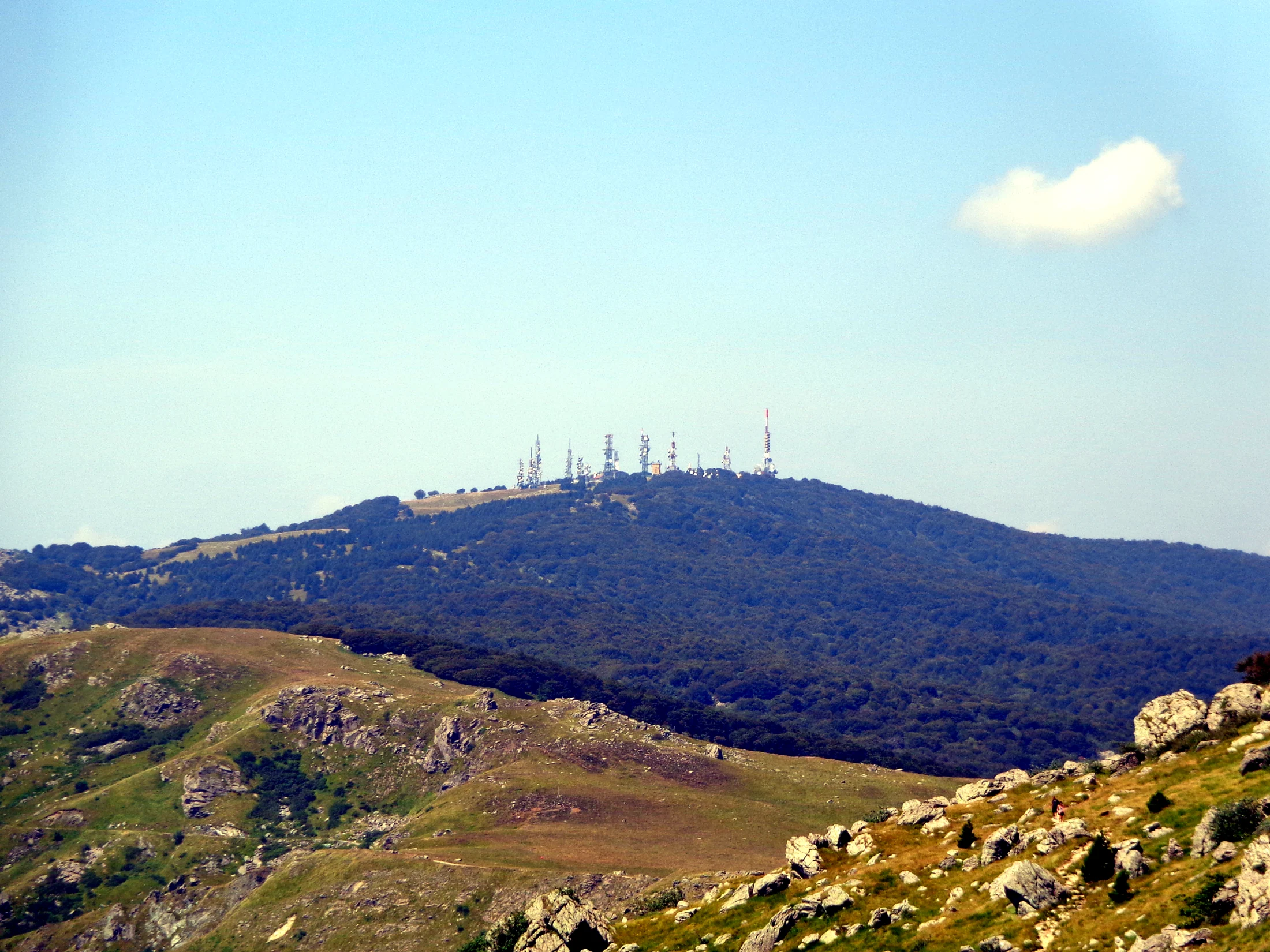
Few places in Liguria have mountains as close to the sea as Varazze. Behind the town is the Beigua Regional Natural Park, the largest protected area in Liguria, spread over eleven municipalities and a UNESCO Geopark for its geological heritage. It has more than 500 kilometres of waymarked trails, and its headquarters is in Varazze itself. This guide gathers the park's official routes starting from the town and from the hamlet of Alpicella, with the figures the park publishes.
The five routes in a table
| Route | Length | Ascent | Time | Grade |
|---|---|---|---|---|
| Alpicella - Fenestrelle (rock shelter) | 2 km | 79 m | 40 min | T |
| Alpicella - Ceresa - Strada Megalitica | 4 km | 279 m | 1 h 30 | T |
| Alpicella - Monte Beigua | 6.5 km | 882 m | 3 h | EE |
| Varazze - Eremo del Deserto - Pratorotondo | 12.5 km | 1,111 m | 4 h | EE |
| Varazze - Beato Giacomo - Faie - Monte Beigua | 10.5 km | 1,282 m | 4 h 15 | EE |
Times are those given by the park from start to finish. T means easy (tourist), EE for experienced hikers: the long ones are mountain climbs, even though you start at the sea.
From the sea to Monte Beigua
This is the classic climb, and the one that explains the place: you start in Varazze, pass the Beato Giacomo and the hamlet of Faie, and reach the summit of Monte Beigua. It is 10.5 kilometres with 1,282 metres of ascent, about four and a quarter hours, waymarked with a red cross. The route links to the Alta Via dei Monti Liguri. Allow nearly the same time for the way back: such a long descent is hard on the legs.
Towards the Deserto hermitage and Pratorotondo
The second route from the town climbs to the Deserto convent, which the town describes as an oasis of peace in the middle of nature, and continues to Pratorotondo, in the municipality of Cogoleto. It is 12.5 kilometres and 1,111 metres of ascent, about four hours, waymarked with a red line and dot. This one is also for experienced hikers.
Alpicella: the short walks
For a shorter walk, the right starting point is Alpicella, the hill hamlet 9 kilometres from the station, about eleven minutes by car. Three routes start here:
- Fenestrelle, the rock shelter: 2 kilometres and 79 metres of ascent, forty minutes, waymark D. The easiest of all, suitable for children too.
- Ceresa and the Strada Megalitica: 4 kilometres and 279 metres of ascent, an hour and a half, waymark N. This one is easy too.
- Monte Beigua: 6.5 kilometres and 882 metres of ascent, three hours, waymark empty red triangle. For experienced hikers; it links to the Giovo–Pratorotondo stage of the Alta Via dei Monti Liguri.
Alpicella also has the "Alpicella Neolitica" nature trail, with panels along the way.
The archaeology of Alpicella
These trails cross land that has been lived in for thousands of years. The "Mario Fenoglio" permanent archaeological exhibition, dedicated to the pioneer of local research and renewed in 2025–2026, presents the finds from the Rocca Due Teste rock shelter and the Alpicella area. According to the town's tourist website it is open every weekend, with staff specialised in archaeology. It is worth combining with the walk to the Strada Megalitica.
No climbing: Lungomare Europa and the cycle route
- The Lungomare Europa is the easy route by the sea, on the old railway towards Cogoleto: see our guide Varazze and the Lungomare Europa.
- The Ciclovia del Beigua is a paved route that runs from the sea through the park and links Varazze with Cogoleto, Stella and Sassello.
Before you set off
- Map and tracks. The park publishes the Beigua hiking map at 1:25,000, and for each route you can download the GPX track and the KMZ file from its website.
- Information. The park headquarters and visitor centre are in Varazze, piazza Beato Jacopo 1 and 3, phone +39 019 4512050. The tourist office is next door, at piazza Beato Jacopo 2.
- Waymarks. Each route has its own symbol: cross, line and dot, triangle, letters. Note yours before you set off, because the trails cross on the ridge.
- Emergencies: 112.
Frequently asked questions
Can you walk from Varazze to Monte Beigua?
Yes, on the Varazze - Beato Giacomo - Faie - Monte Beigua route: 10.5 kilometres and 1,282 metres of ascent, about four and a quarter hours, for experienced hikers.
What is the easiest trail near Varazze?
Alpicella - Fenestrelle: 2 kilometres and 79 metres of ascent to the rock shelter, in forty minutes. By the sea there is the Lungomare Europa, completely flat.
Where is the Strada Megalitica?
Above Varazze, reached from Alpicella on an easy 4-kilometre route with 279 metres of ascent, about an hour and a half.
Is the Beigua Park a UNESCO site?
Yes, it is a UNESCO Geopark for its geological heritage, and the largest protected area in Liguria.
Where can you download GPX tracks of the trails?
On the Beigua Park website, on the page of each route, in GPX and KMZ format.