 Soggiorna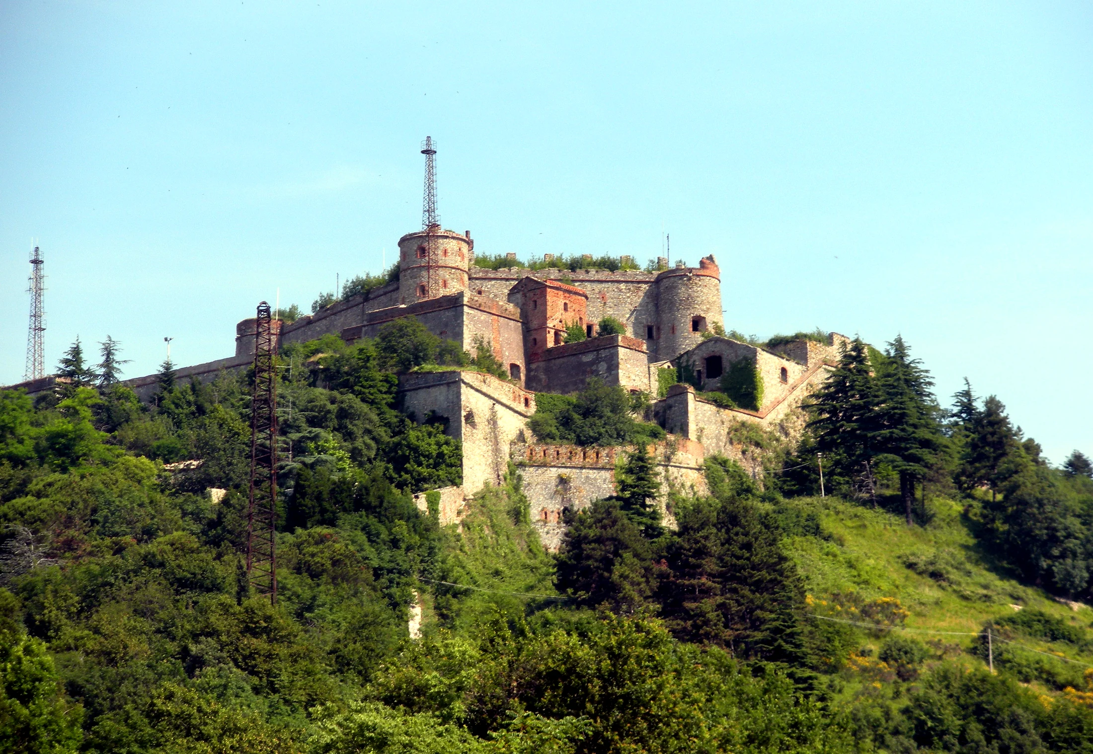
A hiking loop that winds along Genoa's old 17th-century walls (Mura Nuove) and the forts that once defended the city, with views over the gulf from the hills above town.
Verified data
- Start and end: Righi -> Righi (loop, returns to the same point)
- Trail code: I1 (Anello Maggiore)
- One-way or loop: loop
- Distance: 8.13 km (confirmed from the official route geometry)
- Elevation gain: about 440 m (from tourist guides, not confirmed by the OSM/REL record for this specific loop)
- Difficulty: EE (experienced hikers, per the REL/CAI classification — stricter than suggested by some general tourist guides)
- Duration: about 4 hours (from tourist guides, not confirmed by the official record)
- Responsible authority: Parco Urbano delle Mura, Municipality of Genoa
- Last verified: 2026-07-24
The route
Genoa's "Parco delle Mura" (Walls Park) is a rare case in Italy: an EE-level hiking trail that runs almost entirely within the fabric of a major city, following the line of the 17th-century fortifications (Forte Sperone, Forte Puin, Forte Diamante and the other forts along the ring). The most common starting point is Righi, reachable via the Zecca-Righi funicular from central Genoa.
Being rated EE, the route calls for more care than a simple scenic walk: some stretches have uneven ground and concentrated elevation changes.
Before you go
- Real difficulty: trust the official EE rating more than tourist descriptions that play down the difficulty — bring proper boots and adequate fitness.
- Access: the Zecca-Righi funicular is the easiest way to reach the starting point from central Genoa.
- Water: bring enough supplies, refill points along the ring are limited.