 Soggiorna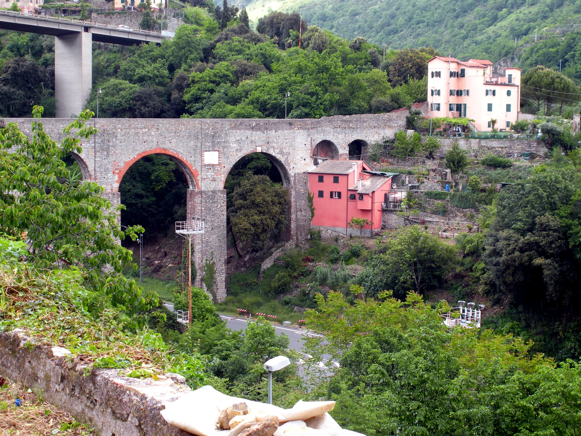
A route that retraces the ancient aqueduct of Genoa, an impressive hydraulic work dating back to the 19th century (with some sections even older) that supplied the city with water from the Bisagno valley. Walking along its path means crossing tunnels, canal bridges, and historic arches, almost always at a constant altitude.
Verified Data
- Start and End: linear route along the historic aqueduct path (Bisagno valley)
- One-way or Loop: one-way
- Kilometers: 21.9 km (entire mapped route)
- Elevation Gain: minimal — the route mostly follows the canal at a nearly constant altitude, typical of aqueduct paths
- Difficulty: T (tourist)
- Travel Time: not precisely reported in the consulted sheet; given the length (almost 22 km) and the limited elevation gain, it can be completed in partial stages
- Responsible Authority: Municipality of Genoa
- Last Check: 2026-07-24
The Route
Unlike most Ligurian trails, the Historical Aqueduct follows a nearly flat path, originally designed for water flow and not for hiking: this makes it accessible even for those looking for a long but not demanding route in terms of elevation gain. It crosses tunnels, bridges, and arches that testify to 19th-century Genoese hydraulic engineering, offering an "urban and historical" alternative to coastal or ridge trails.
Before You Go
- Bring a flashlight: some sections pass through dark tunnels.
- Given the length, consider a partial section: it is not necessary to complete it all in one outing.
- Check the maintenance status: being a historical work, some sections may require attention or be temporarily closed.