 Soggiorna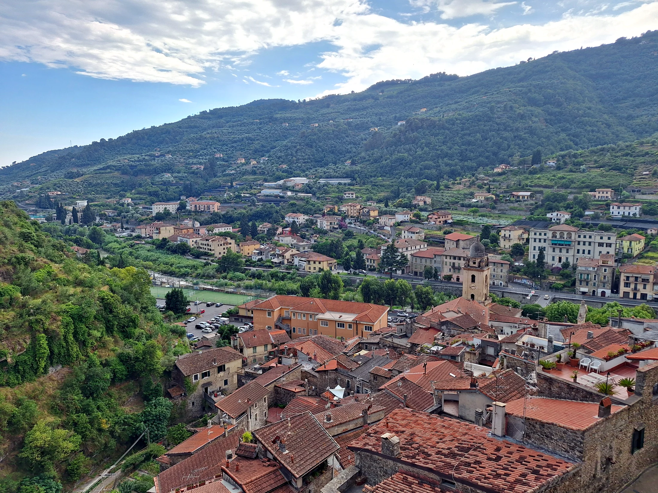
A trail in the hinterland of the extreme western Liguria, in Val Nervia, at the foot of the Ligurian Alps near the French border.
Verified Data
- Start and End: Val Nervia (Ligurian Alps area)
- Trail Code: S.Alp
- One-way or Loop: one-way ("roundtrip" not indicated by the source)
- Kilometers: 6 km
- Elevation Gain: not precisely reported by the consulted OSM sheet
- Difficulty: EE (for experienced hikers) — data not confirmed by an official CAI sheet, but consistent with the high mountain area of the hinterland
- Travel Time: not precisely reported by the consulted sheet
- Responsible Authority: CAI (REL network, Ligurian Alps area)
- Last Verification: 2026-07-24
The Route
Val Nervia, which rises from the coast of Ventimiglia towards the alpine hinterland through villages like Dolceacqua, Isolabona, and Rocchetta Nervina, is the gateway to the Natural Park of the Ligurian Alps. The Alpini Trail is located in this high-altitude area, with a decidedly more alpine than Mediterranean environment compared to the coast.
Before You Go
- Check Conditions with the Local Authority: being an EE classified trail in a mountain area, conditions can change seasonally (residual snow in spring, afternoon summer thunderstorms).
- Mountain Gear: boots, waterproof layer, and offline map are recommended for an EE trail.
- Not a Beginner's Trail: the EE classification indicates sections that require hiking experience.