 Soggiorna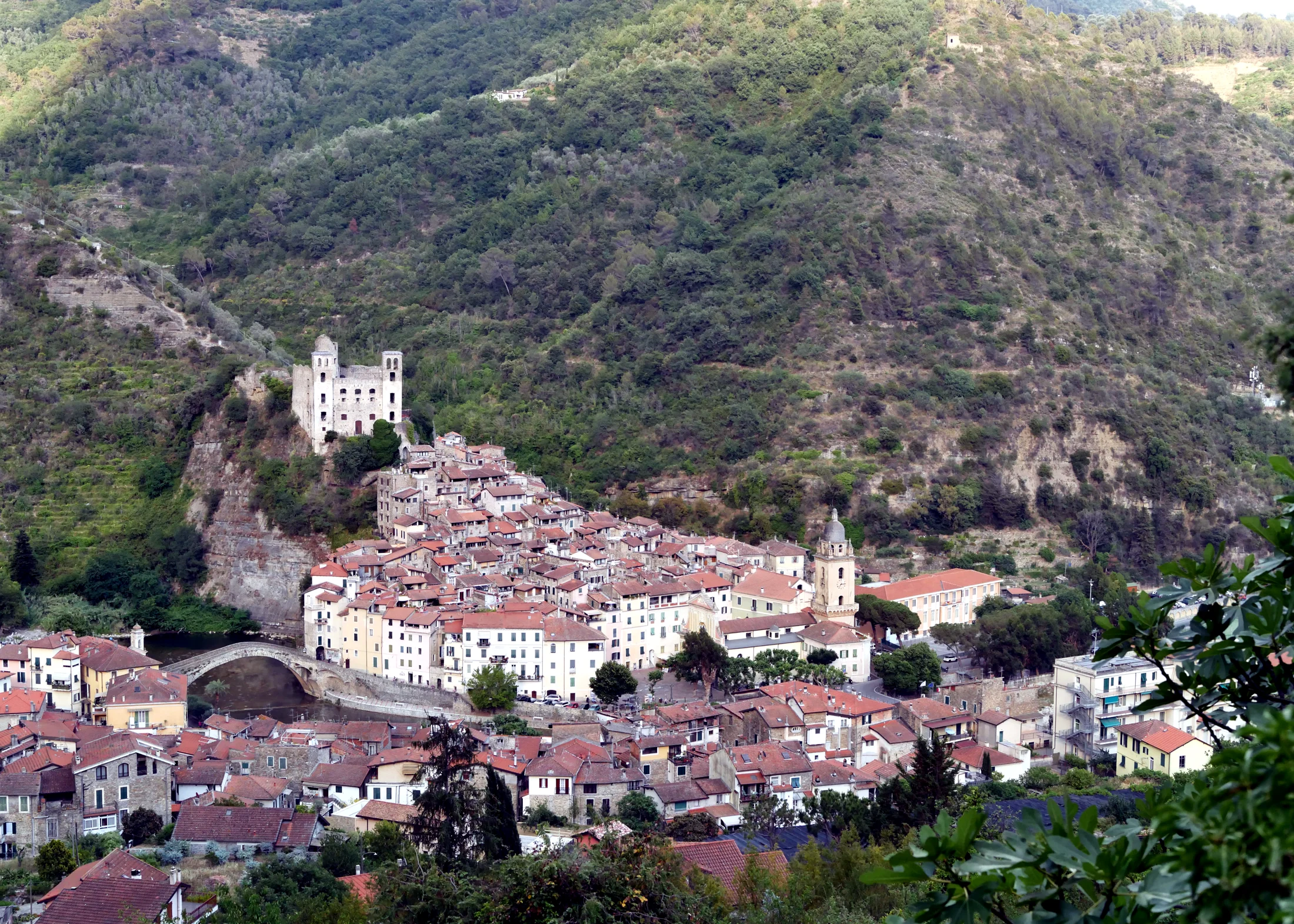
A hiking loop in the inland area of the extreme Ligurian Ponente, starting and returning to the medieval village of Dolceacqua, famous for its donkey-back bridge painted by Monet.
Verified Data
- Start and finish: Dolceacqua -> Dolceacqua (loop, via Tramontina)
- Trail code: 103V
- One way or loop: loop
- Distance: 10.2 km
- Elevation gain: +481 m
- Difficulty: E (hiking)
- Estimated time: about 4 hours
- Responsible authority: Municipality of Dolceacqua (REL/CAI network, CAI inspection)
- Last verification: 2026-07-24
The Route
The loop develops in the Val Nervia, among terraced olive groves and inland villages of the Imperia area, in a border area between the Mediterranean coast and the first foothills of the Ligurian Alps. Dolceacqua, the starting and finishing point, is known for its Doria Castle and the medieval bridge over the Nervia stream.
Those looking for a more challenging hike in the same area can continue towards the alpine inland: see the Sentiero degli Alpini in Val Nervia, a more demanding EE route further up, towards the Ligurian Alps.
Before You Go
- Recommended season: being an exposed hilly route, avoid the hottest hours in mid-summer.
- Water: bring enough supplies for a loop of over 4 hours.
- Combination with a visit to the village: Dolceacqua deserves a separate stop, before or after the hike.