 Soggiorna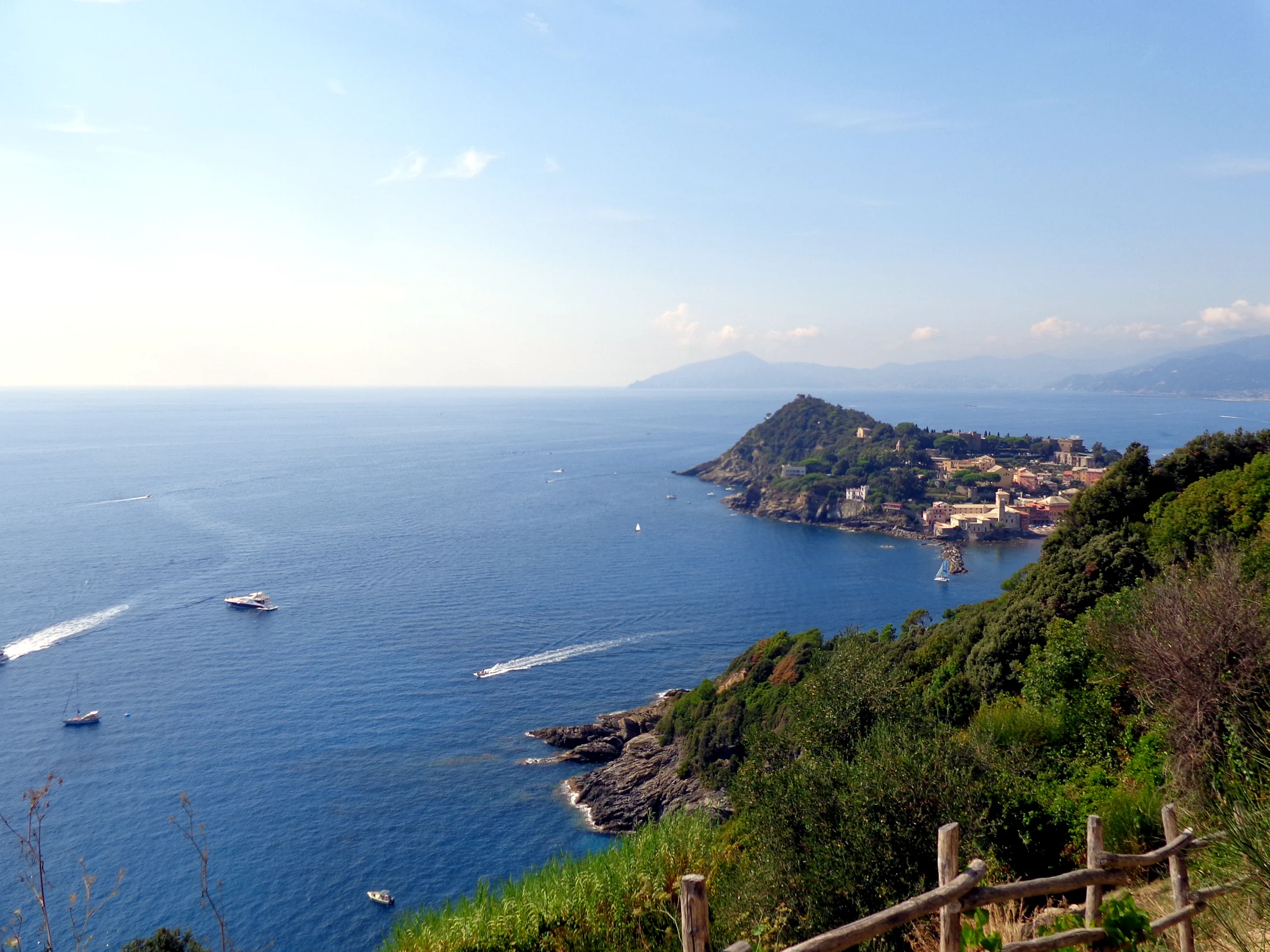
Punta Manara is one of the most famous hikes around Sestri Levante: a promontory overlooking the Tigullio Gulf, accessible via a trail that winds through Mediterranean vegetation.
Verified Data
- Departure and arrival: Sestri Levante (Cappelletta Sacra Famiglia) → Punta Manara
- Trail code: 410 (Ligurian Hiking Network)
- One way or loop: one way (the same stretch is retraced on the return: 2.6 km becomes about 5.1 km round trip)
- Kilometers: 2.6 km (one way)
- Elevation gain: not precisely reported by the consulted REL sheet
- Difficulty: E (hiking)
- Travel time: not precisely reported by the consulted REL sheet; consider 2-3 hours for the round trip with breaks
- Responsible authority: Ligurian Hiking Network / CAI
- Last verification: 2026-07-24
The Route
From the area of Cappelletta della Sacra Famiglia, the trail ascends among maritime pines and Mediterranean vegetation until reaching the tip, where you can enjoy an open view of the Tigullio Gulf, with Sestri Levante on one side and the coast towards Riva Trigoso and Moneglia on the other. There is also an alternative access from Riva Trigoso, more direct but with sections classified as EE (for experienced hikers) in some sources.
Before You Go
- Bring hiking shoes, water, and sunscreen: most of the trail is exposed to the sun, with no continuous shaded areas.
- Check the wind: being an exposed promontory, on windy days some final sections may be uncomfortable.
- Do not attempt with beach footwear: despite being close to the sea, it is a proper hiking trail.